Below The Fort
Introduction
The photograph on this page of Below The Fort by Roger Gilbertson as part of the Geograph project.
The Geograph project started in 2005 with the aim of publishing, organising and preserving representative images for every square kilometre of Great Britain, Ireland and the Isle of Man.

There are currently over 7.5m images from over 14,400 individuals and you can help contribute to the project by visiting https://www.geograph.org.uk
Below The Fort
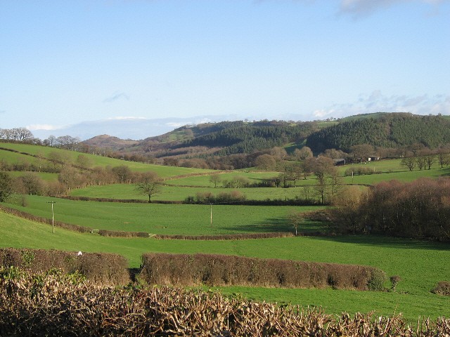
Image: © Roger Gilbertson Taken: 10 Jan 2007
At one time a fort commanded the area in the photograph looking down a side valley leading to the Afon / River Banwy.
Images are licensed for reuse under creativecommons.org/licenses/by-sa/2.0
Image Location
Latitude
52.675543
Longitude
-3.30397