Abandoned farm house
Introduction
The photograph on this page of Abandoned farm house by chris whitehouse as part of the Geograph project.
The Geograph project started in 2005 with the aim of publishing, organising and preserving representative images for every square kilometre of Great Britain, Ireland and the Isle of Man.

There are currently over 7.5m images from over 14,400 individuals and you can help contribute to the project by visiting https://www.geograph.org.uk
Abandoned farm house
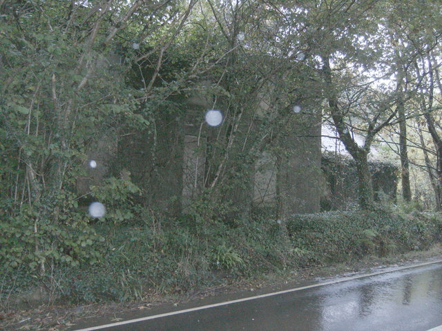
Image: © chris whitehouse Taken: 15 Oct 2012
The house is still boarded up and the trees have grown about the house, but trees have been felled by the out buildings further to the right, seeImage by Ceridwen
Images are licensed for reuse under creativecommons.org/licenses/by-sa/2.0
Image Location


Leaflet Map data © OpenStreetMap
Latitude
51.845884
Longitude
-4.902781