Footpath to Dunvegan Road
Introduction
The photograph on this page of Footpath to Dunvegan Road by Robin Webster as part of the Geograph project.
The Geograph project started in 2005 with the aim of publishing, organising and preserving representative images for every square kilometre of Great Britain, Ireland and the Isle of Man.

There are currently over 7.5m images from over 14,400 individuals and you can help contribute to the project by visiting https://www.geograph.org.uk
Footpath to Dunvegan Road
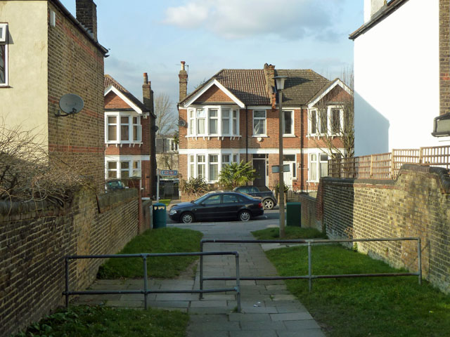
Image: © Robin Webster Taken: 26 Feb 2012
The end of a path bridging over the A2, crossing the station car park on the level, and going under the railway, whilst maintaining a fairly even level itself.
Images are licensed for reuse under creativecommons.org/licenses/by-sa/2.0
Image Location
Latitude
51.456505
Longitude
0.054526