Clay Road on the Armagh / Monaghan Border
Introduction
The photograph on this page of Clay Road on the Armagh / Monaghan Border by Kenneth Allen as part of the Geograph project.
The Geograph project started in 2005 with the aim of publishing, organising and preserving representative images for every square kilometre of Great Britain, Ireland and the Isle of Man.

There are currently over 7.5m images from over 14,400 individuals and you can help contribute to the project by visiting https://www.geograph.org.uk
Clay Road on the Armagh / Monaghan Border
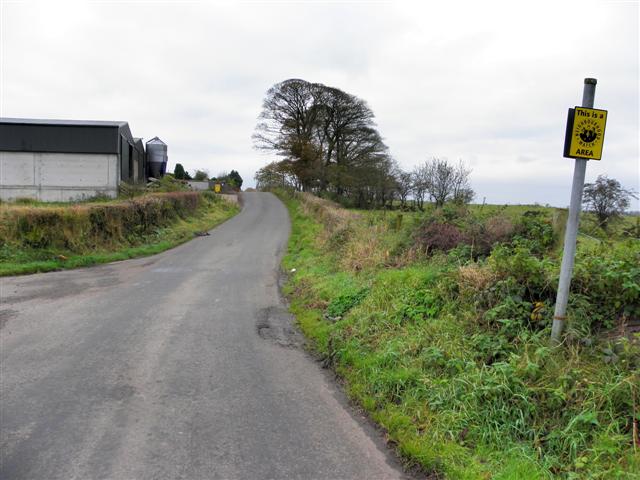
Image: © Kenneth Allen Taken: 22 Oct 2012
Heading south from Northern Ireland to the Irish Republic No signs here to indicate the transition between countries. In some border areas, the locals have removed road signs and welcome signs to indicate what country you are in, so I hadn't realised which jurisdiction I was in until I checked the map.
Images are licensed for reuse under creativecommons.org/licenses/by-sa/2.0
Image Location
Latitude
54.200193
Longitude
-6.702885