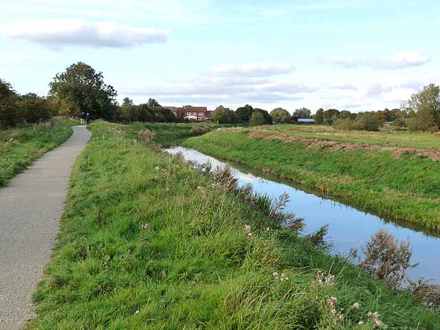
Spa Trail and Horncastle Canal
Introduction
The photograph on this page of Spa Trail and Horncastle Canal by Oliver Dixon as part of the Geograph project.
The Geograph project started in 2005 with the aim of publishing, organising and preserving representative images for every square kilometre of Great Britain, Ireland and the Isle of Man.
There are currently over 7.5m images from over 14,400 individuals and you can help contribute to the project by visiting https://www.geograph.org.uk

Image: © Oliver Dixon Taken: 7 Oct 2012
The Spa Trail is a foot- and cycle-path which runs about 7km from Sandy Lane, Woodhall Spa through to the crossroads in the centre of Horncastle. It coincides over its length with the Viking Way, a 237 km long-distance path which runs from the Humber Bridge to Oakham. In October 2010, an extension (seen here) brought the northern end of the Trail from Thornton Lodge through to the centre of Horncastle. The Horncastle Canal alongside ran from the River Witham up to Horncastle. It was a broad canal with locks capable of taking boats of 15 ft beam. Fully opened from 1802, it was never a great success and the last commercial traffic ceased in 1910. There is some interest in restoring the canal to full working order.

