River Anton
Introduction
The photograph on this page of River Anton by Derek Harper as part of the Geograph project.
The Geograph project started in 2005 with the aim of publishing, organising and preserving representative images for every square kilometre of Great Britain, Ireland and the Isle of Man.

There are currently over 7.5m images from over 14,400 individuals and you can help contribute to the project by visiting https://www.geograph.org.uk
River Anton
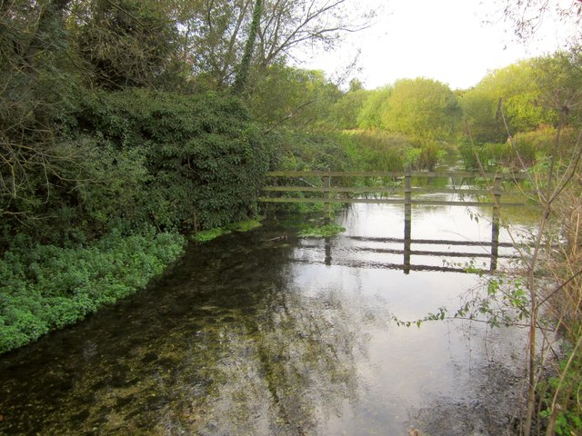
Image: © Derek Harper Taken: 15 Oct 2012
Looking upstream from Andover footpath 50, which is followed by the Brenda Parker Way. The quality of the river and its environment has been improved on recent years by the River Anton Enhancement Strategy. As part of the strategy, the River Anton Way was established http://www.hwt.org.uk/pages/anton-way-interpretation-project.html .
Images are licensed for reuse under creativecommons.org/licenses/by-sa/2.0
Image Location
Latitude
51.215554
Longitude
-1.479661