SW end of Backwell Common, Backwell
Introduction
The photograph on this page of SW end of Backwell Common, Backwell by Jaggery as part of the Geograph project.
The Geograph project started in 2005 with the aim of publishing, organising and preserving representative images for every square kilometre of Great Britain, Ireland and the Isle of Man.

There are currently over 7.5m images from over 14,400 individuals and you can help contribute to the project by visiting https://www.geograph.org.uk
SW end of Backwell Common, Backwell
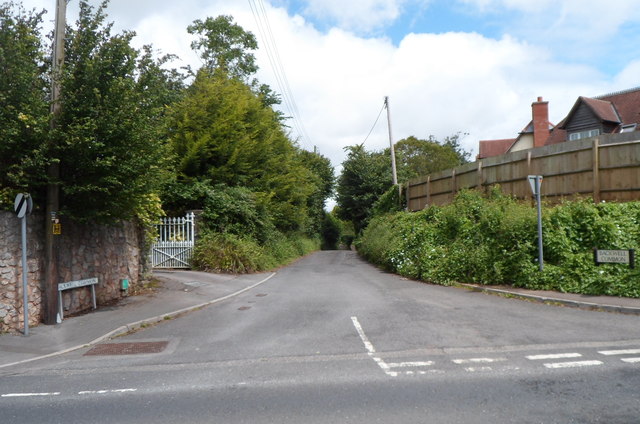
Image: © Jaggery Taken: 13 Jul 2012
A lane named Backwell Common heads away from Station Road towards the hamlet of Backwell Common, part of the civil parish of Backwell.
Images are licensed for reuse under creativecommons.org/licenses/by-sa/2.0
Image Location


Leaflet Map data © OpenStreetMap
Latitude
51.41756
Longitude
-2.744132