Sheep Dip
Introduction
The photograph on this page of Sheep Dip by Anne Burgess as part of the Geograph project.
The Geograph project started in 2005 with the aim of publishing, organising and preserving representative images for every square kilometre of Great Britain, Ireland and the Isle of Man.

There are currently over 7.5m images from over 14,400 individuals and you can help contribute to the project by visiting https://www.geograph.org.uk
Sheep Dip
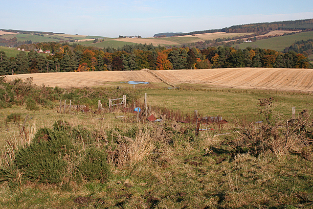
Image: © Anne Burgess Taken: 22 Oct 2012
The gate, fences and assorted odds and ends are marked on the map as a sheep dip. Beyond the fields are the woods around Buchromb, and the houses at extreme left are at Wester Gauldwell.
Images are licensed for reuse under creativecommons.org/licenses/by-sa/2.0
Image Location
Latitude
57.473142
Longitude
-3.1538