Blue Hill
Introduction
The photograph on this page of Blue Hill by Anne Burgess as part of the Geograph project.
The Geograph project started in 2005 with the aim of publishing, organising and preserving representative images for every square kilometre of Great Britain, Ireland and the Isle of Man.

There are currently over 7.5m images from over 14,400 individuals and you can help contribute to the project by visiting https://www.geograph.org.uk
Blue Hill
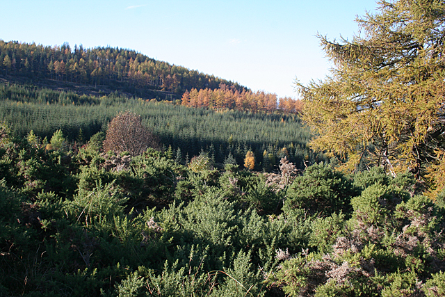
Image: © Anne Burgess Taken: 22 Oct 2012
Much of Blue Hill is forested. This is the northern end of the hill, the summit being further to the left.
Images are licensed for reuse under creativecommons.org/licenses/by-sa/2.0
Image Location
Latitude
57.47402
Longitude
-3.165834