Footpath junction, Scout Bottom Lane
Introduction
The photograph on this page of Footpath junction, Scout Bottom Lane by Humphrey Bolton as part of the Geograph project.
The Geograph project started in 2005 with the aim of publishing, organising and preserving representative images for every square kilometre of Great Britain, Ireland and the Isle of Man.

There are currently over 7.5m images from over 14,400 individuals and you can help contribute to the project by visiting https://www.geograph.org.uk
Footpath junction, Scout Bottom Lane
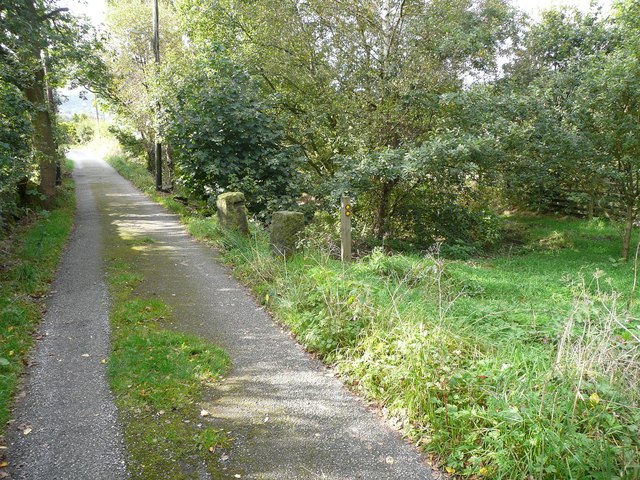
Image: © Humphrey Bolton Taken: 9 Oct 2012
Scout Bottom Lane is an unadopted road and public footpath. The branch to New Road starts by going into a wet hollow.
Images are licensed for reuse under creativecommons.org/licenses/by-sa/2.0
Image Location
Latitude
53.727427
Longitude
-1.973742