Woodland alongside Hebden Royd FP 54
Introduction
The photograph on this page of Woodland alongside Hebden Royd FP 54 by Humphrey Bolton as part of the Geograph project.
The Geograph project started in 2005 with the aim of publishing, organising and preserving representative images for every square kilometre of Great Britain, Ireland and the Isle of Man.

There are currently over 7.5m images from over 14,400 individuals and you can help contribute to the project by visiting https://www.geograph.org.uk
Woodland alongside Hebden Royd FP 54
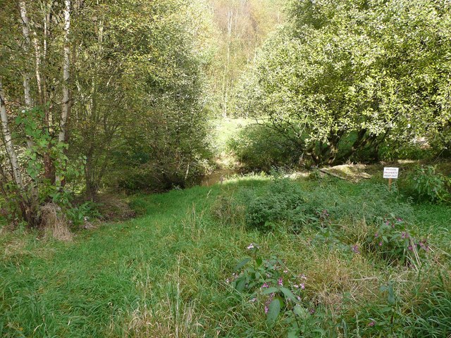
Image: © Humphrey Bolton Taken: 9 Oct 2012
On the 1905 map this was part of a block of fields, but on the 1930s edition most of this area had been turned into a large area of railway sidings. This in turn has been abandoned, and become woodland, which the owner evidently wants people to keep out of. The pond is no doubt more effective than the sign.
Images are licensed for reuse under creativecommons.org/licenses/by-sa/2.0
Image Location
Latitude
53.727607
Longitude
-1.973894