Revetment below Mariners Park
Introduction
The photograph on this page of Revetment below Mariners Park by MDS as part of the Geograph project.
The Geograph project started in 2005 with the aim of publishing, organising and preserving representative images for every square kilometre of Great Britain, Ireland and the Isle of Man.

There are currently over 7.5m images from over 14,400 individuals and you can help contribute to the project by visiting https://www.geograph.org.uk
Revetment below Mariners Park
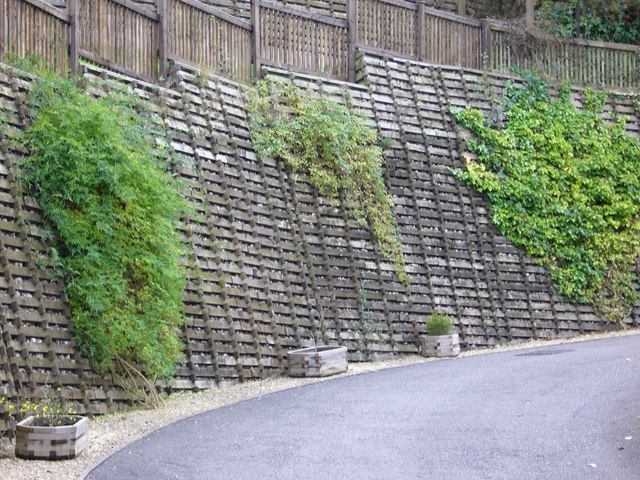
Image: © MDS Taken: 15 Dec 2006
This is just a little of the work that had to be undertaken to secure the regolith along Nore Road Portishead, before one reaches the former Brackenwood nursery site , for the housing project
Images are licensed for reuse under creativecommons.org/licenses/by-sa/2.0
Image Location


Leaflet Map data © OpenStreetMap
Latitude
51.483982
Longitude
-2.789426