
Entrance to the Roseburn Path at Ravelston Dykes
Introduction
The photograph on this page of Entrance to the Roseburn Path at Ravelston Dykes by Sandy Gemmill as part of the Geograph project.
The Geograph project started in 2005 with the aim of publishing, organising and preserving representative images for every square kilometre of Great Britain, Ireland and the Isle of Man.

There are currently over 7.5m images from over 14,400 individuals and you can help contribute to the project by visiting https://www.geograph.org.uk
Entrance to the Roseburn Path at Ravelston Dykes
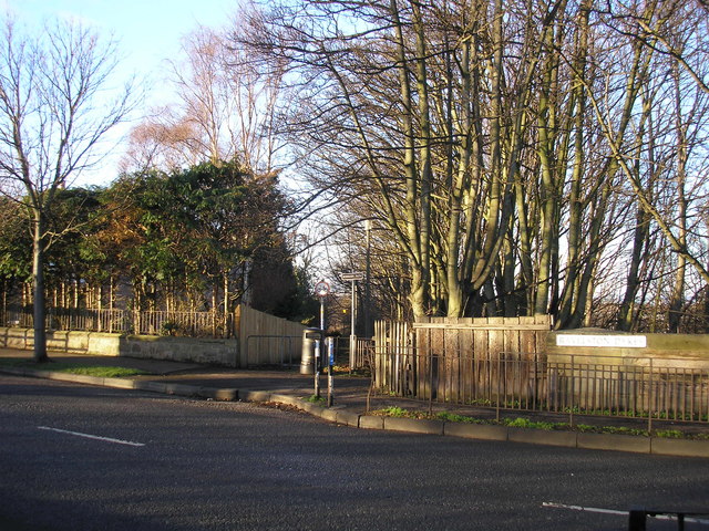
Image: © Sandy Gemmill Taken: 22 Jan 2007
The view of the path which leads down to the Roseburn Path (the Murrayfield to Craigleith section of the now disused Granton and Leith branch line of the former Caledonian Railway). The street sign for Ravelston Dykes (on the right of the picture) is attached to the bridge which carries the road over the walkway and cyclepath that follows the route of the disused railway line.
Images are licensed for reuse under creativecommons.org/licenses/by-sa/2.0
Image Location

Latitude
55.951004
Longitude
-3.23783