Late 17th century building, King Street, Bristol
Introduction
The photograph on this page of Late 17th century building, King Street, Bristol by Jaggery as part of the Geograph project.
The Geograph project started in 2005 with the aim of publishing, organising and preserving representative images for every square kilometre of Great Britain, Ireland and the Isle of Man.

There are currently over 7.5m images from over 14,400 individuals and you can help contribute to the project by visiting https://www.geograph.org.uk
Late 17th century building, King Street, Bristol
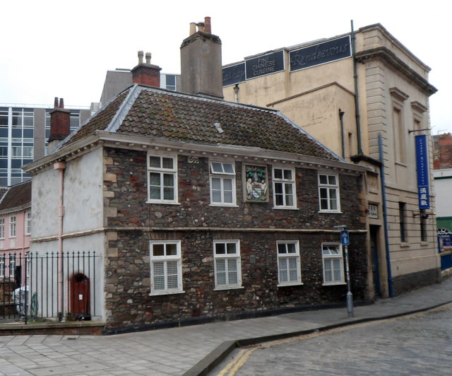
Image: © Jaggery Taken: 21 Oct 2012
The year 1699 is inscribed on the building on the north side of King Street, between former almshouses http://www.geograph.org.uk/photo/3189095 on its left and the Old Library (now a Chinese restaurant) on its right. http://www.geograph.org.uk/photo/3189128
Images are licensed for reuse under creativecommons.org/licenses/by-sa/2.0
Image Location


Leaflet Map data © OpenStreetMap
Latitude
51.451678
Longitude
-2.595595