Mitchley Hill
Introduction
The photograph on this page of Mitchley Hill by Marathon as part of the Geograph project.
The Geograph project started in 2005 with the aim of publishing, organising and preserving representative images for every square kilometre of Great Britain, Ireland and the Isle of Man.

There are currently over 7.5m images from over 14,400 individuals and you can help contribute to the project by visiting https://www.geograph.org.uk
Mitchley Hill
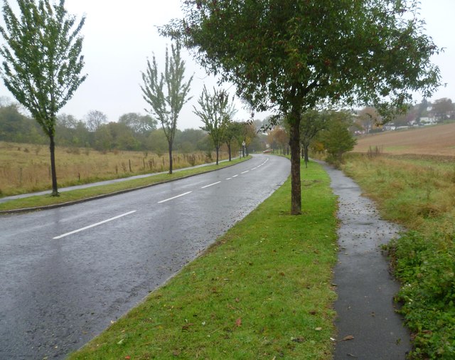
Image: © Marathon Taken: 21 Oct 2012
This is looking along the bottom of Mitchley Hill with Mitchley Wood to the left. To the south beyond Mitchley Wood the Green Belt stretches down to Whyteleafe. This was a thoroughly wet and miserable Sunday afternoon.
Images are licensed for reuse under creativecommons.org/licenses/by-sa/2.0
Image Location
Latitude
51.330613
Longitude
-0.083889