Coal Road to Station Road, near East Tilbury
Introduction
The photograph on this page of Coal Road to Station Road, near East Tilbury by David Anstiss as part of the Geograph project.
The Geograph project started in 2005 with the aim of publishing, organising and preserving representative images for every square kilometre of Great Britain, Ireland and the Isle of Man.

There are currently over 7.5m images from over 14,400 individuals and you can help contribute to the project by visiting https://www.geograph.org.uk
Coal Road to Station Road, near East Tilbury
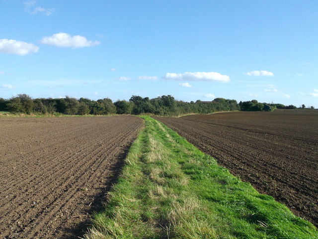
Image: © David Anstiss Taken: 16 Oct 2012
This ancient road is classified as a bridleway from Low Street Lane, between fields towards the railway (between Tilbury and East Tilbury) and then it carries onwards to Station Road. (beyond the trees in the background).
Images are licensed for reuse under creativecommons.org/licenses/by-sa/2.0
Image Location


Leaflet Map data © OpenStreetMap
Latitude
51.475341
Longitude
0.411217