Former Public Conveniences, Telscombe Cliffs
Introduction
The photograph on this page of Former Public Conveniences, Telscombe Cliffs by Simon Carey as part of the Geograph project.
The Geograph project started in 2005 with the aim of publishing, organising and preserving representative images for every square kilometre of Great Britain, Ireland and the Isle of Man.

There are currently over 7.5m images from over 14,400 individuals and you can help contribute to the project by visiting https://www.geograph.org.uk
Former Public Conveniences, Telscombe Cliffs
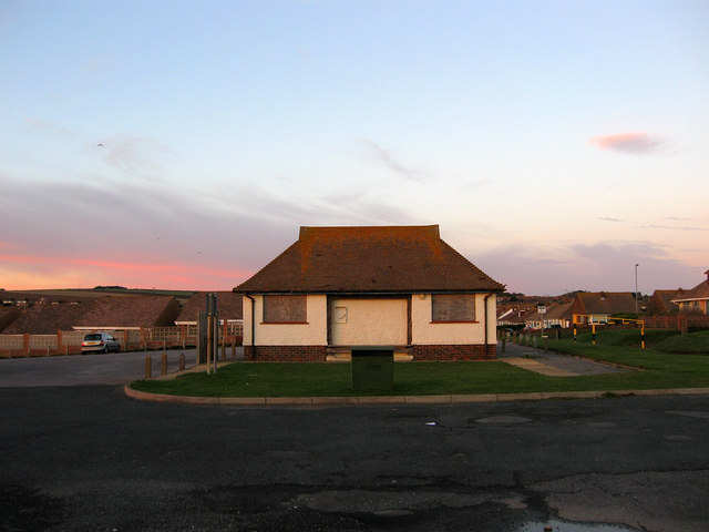
Image: © Simon Carey Taken: 14 Oct 2012
Next to Fairlight Avenue car park.
Images are licensed for reuse under creativecommons.org/licenses/by-sa/2.0
Image Location
Latitude
50.793976
Longitude
-0.018511