Lane below Beara Down
Introduction
The photograph on this page of Lane below Beara Down by Derek Harper as part of the Geograph project.
The Geograph project started in 2005 with the aim of publishing, organising and preserving representative images for every square kilometre of Great Britain, Ireland and the Isle of Man.

There are currently over 7.5m images from over 14,400 individuals and you can help contribute to the project by visiting https://www.geograph.org.uk
Lane below Beara Down
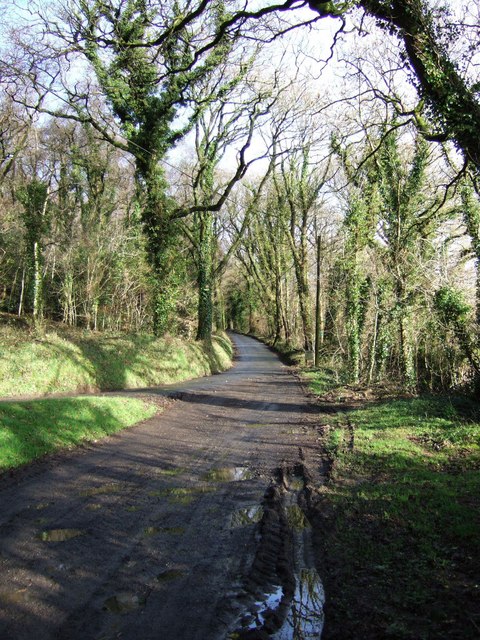
Image: © Derek Harper Taken: 20 Jan 2007
The reverse view of Image In the foreground, Bridestowe Bridleway 12, which is also the farm road to Beara, joins the lane from Watergate up to The Knole. The notice by the telegraph pole indicates where Bridestowe Footpath 5 forks off to the right.
Images are licensed for reuse under creativecommons.org/licenses/by-sa/2.0
Image Location


Leaflet Map data © OpenStreetMap
Latitude
50.669801
Longitude
-4.107485