The Marlbank Road into Welland
Introduction
The photograph on this page of The Marlbank Road into Welland by Bob Embleton as part of the Geograph project.
The Geograph project started in 2005 with the aim of publishing, organising and preserving representative images for every square kilometre of Great Britain, Ireland and the Isle of Man.

There are currently over 7.5m images from over 14,400 individuals and you can help contribute to the project by visiting https://www.geograph.org.uk
The Marlbank Road into Welland
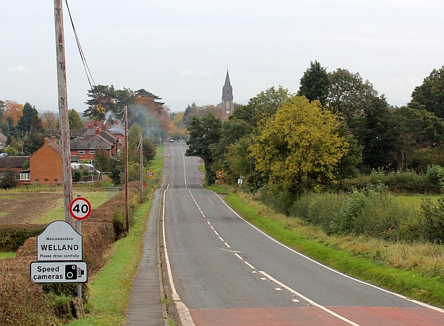
Image: © Bob Embleton Taken: 19 Oct 2012
The A4104 from Little Malvern to Pershore. The red colour on the road shows where the 30 mph speed limit used to be - just over the brow of the Marlbank hill. Now there is a 40 mph speed limit well before the dip and the 30 mph has been moved closer to the residential properties.
Images are licensed for reuse under creativecommons.org/licenses/by-sa/2.0
Image Location


Leaflet Map data © OpenStreetMap
Latitude
52.059872
Longitude
-2.305814