Southern boundary of Stoke Gifford
Introduction
The photograph on this page of Southern boundary of Stoke Gifford by Jaggery as part of the Geograph project.
The Geograph project started in 2005 with the aim of publishing, organising and preserving representative images for every square kilometre of Great Britain, Ireland and the Isle of Man.

There are currently over 7.5m images from over 14,400 individuals and you can help contribute to the project by visiting https://www.geograph.org.uk
Southern boundary of Stoke Gifford
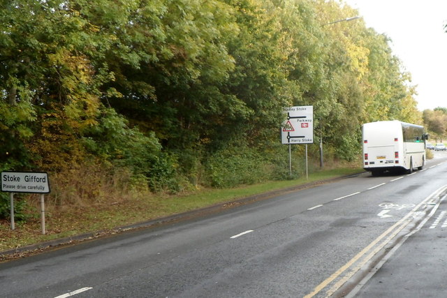
Image: © Jaggery Taken: 18 Oct 2012
The road named Brierly Furlong reaches Stoke Gifford, South Gloucestershire. Before the 1980s Stoke Gifford was a small village. During a period of rapid growth, its population was 11,509 on the day of the 2001 Census. It is now effectively a northern suburb of Bristol, and is the location of Bristol Parkway railway station.
Images are licensed for reuse under creativecommons.org/licenses/by-sa/2.0
Image Location
Latitude
51.512871
Longitude
-2.548406