South side of Hatchet Road railway bridge, Stoke Gifford
Introduction
The photograph on this page of South side of Hatchet Road railway bridge, Stoke Gifford by Jaggery as part of the Geograph project.
The Geograph project started in 2005 with the aim of publishing, organising and preserving representative images for every square kilometre of Great Britain, Ireland and the Isle of Man.

There are currently over 7.5m images from over 14,400 individuals and you can help contribute to the project by visiting https://www.geograph.org.uk
South side of Hatchet Road railway bridge, Stoke Gifford
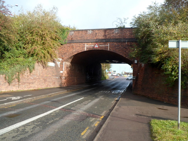
Image: © Jaggery Taken: 18 Oct 2012
Hatchet Road passes under railway lines 200 metres west of Bristol Parkway railway station. Headroom (overhead clearance) is shown as 15' 3" (4.6m). This bridge no longer carries any tracks, which are now all on the bridge http://www.geograph.org.uk/photo/3173698 attached to its northern side.
Images are licensed for reuse under creativecommons.org/licenses/by-sa/2.0
Image Location


Leaflet Map data © OpenStreetMap
Latitude
51.514138
Longitude
-2.546692