Kirkcaldy
Introduction
The photograph on this page of Kirkcaldy by Paul McIlroy as part of the Geograph project.
The Geograph project started in 2005 with the aim of publishing, organising and preserving representative images for every square kilometre of Great Britain, Ireland and the Isle of Man.

There are currently over 7.5m images from over 14,400 individuals and you can help contribute to the project by visiting https://www.geograph.org.uk
Kirkcaldy
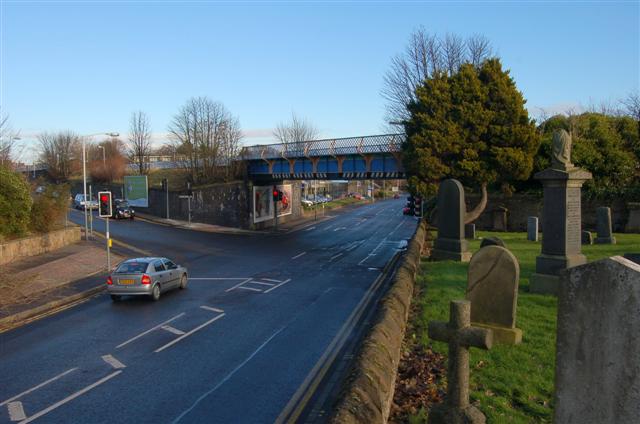
Image: © Paul McIlroy Taken: 22 Jan 2007
This picture shows Abbotshall Road and on the left Station Road.The railway bridge carries The Main East Coast and Fife Circle Lines. The photo was taken from Abbotshall Churchyard.
Images are licensed for reuse under creativecommons.org/licenses/by-sa/2.0
Image Location
Latitude
56.110717
Longitude
-3.168982