View of the former stables of the Old House from Overton Drive
Introduction
The photograph on this page of View of the former stables of the Old House from Overton Drive by Robert Lamb as part of the Geograph project.
The Geograph project started in 2005 with the aim of publishing, organising and preserving representative images for every square kilometre of Great Britain, Ireland and the Isle of Man.

There are currently over 7.5m images from over 14,400 individuals and you can help contribute to the project by visiting https://www.geograph.org.uk
View of the former stables of the Old House from Overton Drive
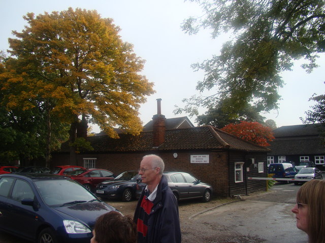
Image: © Robert Lamb Taken: 20 Oct 2012
The stables are now part of Wanstead Golf Club. Looking south-southeast.
Images are licensed for reuse under creativecommons.org/licenses/by-sa/2.0
Image Location
Latitude
51.571253
Longitude
0.033865