Fork in the road
Introduction
The photograph on this page of Fork in the road by Brian Ironside as part of the Geograph project.
The Geograph project started in 2005 with the aim of publishing, organising and preserving representative images for every square kilometre of Great Britain, Ireland and the Isle of Man.

There are currently over 7.5m images from over 14,400 individuals and you can help contribute to the project by visiting https://www.geograph.org.uk
Fork in the road
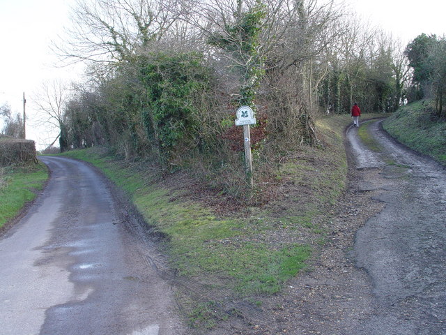
Image: © Brian Ironside Taken: 21 Jan 2007
The road to the left continues to Old Lawn Farm, the track to the right heads south to King Down
Images are licensed for reuse under creativecommons.org/licenses/by-sa/2.0
Image Location


Leaflet Map data © OpenStreetMap
Latitude
50.842002
Longitude
-2.027359