Colourful houses at the eastern edge of Llandovery
Introduction
The photograph on this page of Colourful houses at the eastern edge of Llandovery by Jaggery as part of the Geograph project.
The Geograph project started in 2005 with the aim of publishing, organising and preserving representative images for every square kilometre of Great Britain, Ireland and the Isle of Man.

There are currently over 7.5m images from over 14,400 individuals and you can help contribute to the project by visiting https://www.geograph.org.uk
Colourful houses at the eastern edge of Llandovery
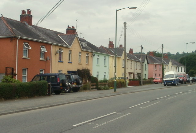
Image: © Jaggery Taken: 5 Jun 2011
Dan y Crug is a row of 20 houses alongside Brecon Road (the A40).
Images are licensed for reuse under creativecommons.org/licenses/by-sa/2.0
Image Location
Latitude
51.995469
Longitude
-3.786521