Co-operative Food store, Llandovery
Introduction
The photograph on this page of Co-operative Food store, Llandovery by Jaggery as part of the Geograph project.
The Geograph project started in 2005 with the aim of publishing, organising and preserving representative images for every square kilometre of Great Britain, Ireland and the Isle of Man.

There are currently over 7.5m images from over 14,400 individuals and you can help contribute to the project by visiting https://www.geograph.org.uk
Co-operative Food store, Llandovery
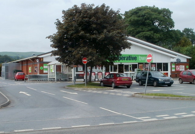
Image: © Jaggery Taken: 5 Jun 2011
Located on the north side of Brecon Road (the A40) at the eastern edge of Llandovery. The store was formerly a Somerfield. http://www.geograph.org.uk/photo/987553
Images are licensed for reuse under creativecommons.org/licenses/by-sa/2.0
Image Location
Latitude
51.995162
Longitude
-3.788985