Telscombe Cliffs Way, Telscombe Cliffs
Introduction
The photograph on this page of Telscombe Cliffs Way, Telscombe Cliffs by Simon Carey as part of the Geograph project.
The Geograph project started in 2005 with the aim of publishing, organising and preserving representative images for every square kilometre of Great Britain, Ireland and the Isle of Man.

There are currently over 7.5m images from over 14,400 individuals and you can help contribute to the project by visiting https://www.geograph.org.uk
Telscombe Cliffs Way, Telscombe Cliffs
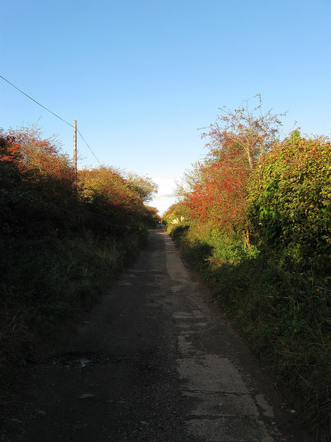
Image: © Simon Carey Taken: 14 Oct 2012
One of the roads originally laid out in the first decade of the 20th century that runs between South Coast Road, the A259, and Telscombe Road, though this section between the latter and the junction with Kirby Drive is now a private unmade road. The partially concreted section was laid down during the Second World War to allow tanks to gain access to Telscombe Tye for training purposes.
Images are licensed for reuse under creativecommons.org/licenses/by-sa/2.0
Image Location
Latitude
50.804859
Longitude
-0.007974