Telscombe Playing Fields
Introduction
The photograph on this page of Telscombe Playing Fields by Simon Carey as part of the Geograph project.
The Geograph project started in 2005 with the aim of publishing, organising and preserving representative images for every square kilometre of Great Britain, Ireland and the Isle of Man.

There are currently over 7.5m images from over 14,400 individuals and you can help contribute to the project by visiting https://www.geograph.org.uk
Telscombe Playing Fields
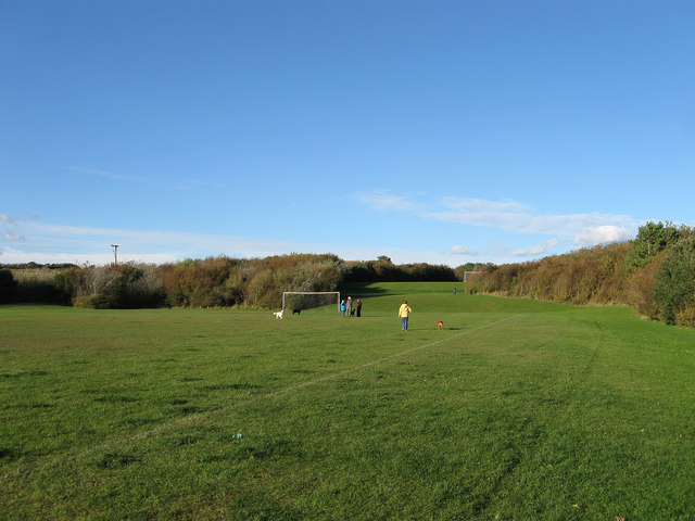
Image: © Simon Carey Taken: 14 Oct 2012
I think these were landscaped in the 1990s and are the only remnant of an old field called North West Laine according to Telscombe's 1842 tithe map. The rest of the field now lies under the estate built around Kirby Drive during the early 1980s. The trees on the right mark the boundary with Telscombe Cliffs Way.
Images are licensed for reuse under creativecommons.org/licenses/by-sa/2.0
Image Location
Latitude
50.80514
Longitude
-0.008671