The North Circular Road approaching Harrow Road, 1982
Introduction
The photograph on this page of The North Circular Road approaching Harrow Road, 1982 by David Howard as part of the Geograph project.
The Geograph project started in 2005 with the aim of publishing, organising and preserving representative images for every square kilometre of Great Britain, Ireland and the Isle of Man.

There are currently over 7.5m images from over 14,400 individuals and you can help contribute to the project by visiting https://www.geograph.org.uk
The North Circular Road approaching Harrow Road, 1982
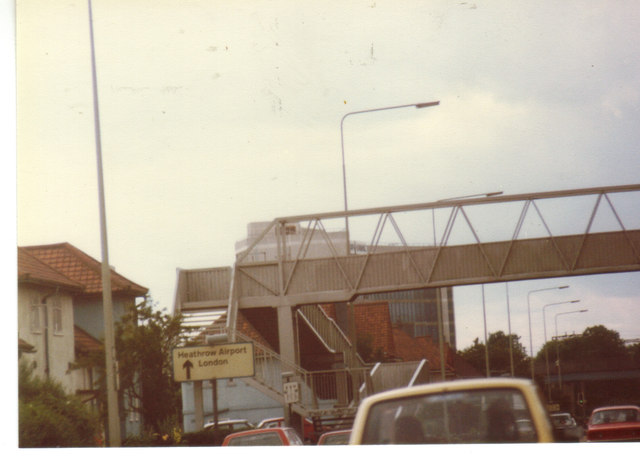
Image: © David Howard Taken: Unknown
This wasn't long after the Sperry building under the bridge was built, and has been derelict for around a decade in 2012.
Images are licensed for reuse under creativecommons.org/licenses/by-sa/2.0
Image Location
Latitude
51.54625
Longitude
-0.268536