Sandhurst Road Footbridge
Introduction
The photograph on this page of Sandhurst Road Footbridge by Richard Cooke as part of the Geograph project.
The Geograph project started in 2005 with the aim of publishing, organising and preserving representative images for every square kilometre of Great Britain, Ireland and the Isle of Man.

There are currently over 7.5m images from over 14,400 individuals and you can help contribute to the project by visiting https://www.geograph.org.uk
Sandhurst Road Footbridge
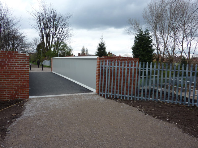
Image: © Richard Cooke Taken: 7 Apr 2012
Built in 2012 to provide a longer span over the new Manchester Metrolink Didsbury line and Trans Pennine Trail. 'London Midland' style footbridge.
Images are licensed for reuse under creativecommons.org/licenses/by-sa/2.0
Image Location
Latitude
53.414694
Longitude
-2.225033