Mill reservoir
Introduction
The photograph on this page of Mill reservoir by Bob Forrest as part of the Geograph project.
The Geograph project started in 2005 with the aim of publishing, organising and preserving representative images for every square kilometre of Great Britain, Ireland and the Isle of Man.

There are currently over 7.5m images from over 14,400 individuals and you can help contribute to the project by visiting https://www.geograph.org.uk
Mill reservoir
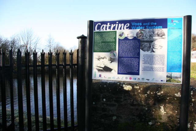
Image: © Bob Forrest Taken: 17 Jan 2007
This sign marks the last of the reservoirs (voes) which were constructed to store water from the R. Ayr to power the waterwheels in the cotton mills in Catrine. There was both a waulk mill and a twist mill and a bleach works, all of which made heavy demands on water. The water to the latter mill was led along an aqueduct, over the main street in Catrine to the mill which was located in the centre of the village.
Images are licensed for reuse under creativecommons.org/licenses/by-sa/2.0
Image Location


Leaflet Map data © OpenStreetMap
Latitude
55.506075
Longitude
-4.327048