2012 : A360 High Street, Tilshead
Introduction
The photograph on this page of 2012 : A360 High Street, Tilshead by Maurice Pullin as part of the Geograph project.
The Geograph project started in 2005 with the aim of publishing, organising and preserving representative images for every square kilometre of Great Britain, Ireland and the Isle of Man.

There are currently over 7.5m images from over 14,400 individuals and you can help contribute to the project by visiting https://www.geograph.org.uk
2012 : A360 High Street, Tilshead
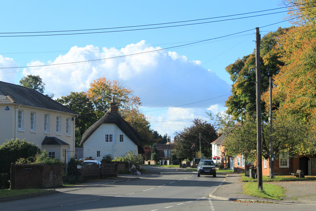
Image: © Maurice Pullin Taken: 14 Oct 2012
Looking west from the village green. Tilshead is located between the two parts of the military range and was lucky not to suffer the same fate as Imber.
Images are licensed for reuse under creativecommons.org/licenses/by-sa/2.0
Image Location
Latitude
51.230459
Longitude
-1.953977