Little Dunkeld Parish Churchyard
Introduction
The photograph on this page of Little Dunkeld Parish Churchyard by Walter Baxter as part of the Geograph project.
The Geograph project started in 2005 with the aim of publishing, organising and preserving representative images for every square kilometre of Great Britain, Ireland and the Isle of Man.

There are currently over 7.5m images from over 14,400 individuals and you can help contribute to the project by visiting https://www.geograph.org.uk
Little Dunkeld Parish Churchyard
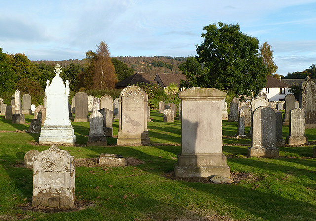
Image: © Walter Baxter Taken: 9 Oct 2012
There are some good symbolic gravestones in the churchyard including two 18th century Adam and Eve stones.
Images are licensed for reuse under creativecommons.org/licenses/by-sa/2.0
Image Location
Latitude
56.562131
Longitude
-3.582028