Coleford Baptist church
Introduction
The photograph on this page of Coleford Baptist church by Philip Halling as part of the Geograph project.
The Geograph project started in 2005 with the aim of publishing, organising and preserving representative images for every square kilometre of Great Britain, Ireland and the Isle of Man.

There are currently over 7.5m images from over 14,400 individuals and you can help contribute to the project by visiting https://www.geograph.org.uk
Coleford Baptist church
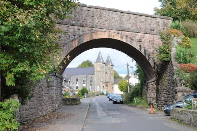
Image: © Philip Halling Taken: 14 Oct 2012
Coleford Baptist Church on Newland Street viewed through the old railway bridge which used to carry the Monnmouth to Coleford railway.
Images are licensed for reuse under creativecommons.org/licenses/by-sa/2.0
Image Location
Latitude
51.792595
Longitude
-2.620086