Bader Park
Introduction
The photograph on this page of Bader Park by Doug Lee as part of the Geograph project.
The Geograph project started in 2005 with the aim of publishing, organising and preserving representative images for every square kilometre of Great Britain, Ireland and the Isle of Man.

There are currently over 7.5m images from over 14,400 individuals and you can help contribute to the project by visiting https://www.geograph.org.uk
Bader Park
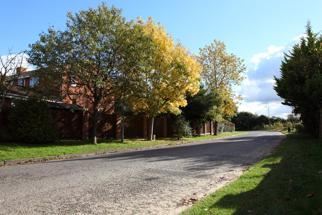
Image: © Doug Lee Taken: 14 Oct 2012
Bader Park is named after Douglas Bader. In common with many other roads in Bowerhill it's named with an aeronautical or RAF theme.
Images are licensed for reuse under creativecommons.org/licenses/by-sa/2.0
Image Location
Latitude
51.352778
Longitude
-2.125313