A40 towards Raglan
Introduction
The photograph on this page of A40 towards Raglan by Graham Horn as part of the Geograph project.
The Geograph project started in 2005 with the aim of publishing, organising and preserving representative images for every square kilometre of Great Britain, Ireland and the Isle of Man.

There are currently over 7.5m images from over 14,400 individuals and you can help contribute to the project by visiting https://www.geograph.org.uk
A40 towards Raglan
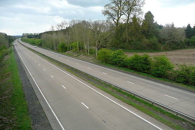
Image: © Graham Horn Taken: 13 Apr 2012
This is the new road, a long dual carriageway built in the 1970s, to replace the old section between Abergavenny and Raglan. There is an ancient site marked on the map here, Twyn-y-Gregan, which must be by the trees beyond the ploughed field on the right.
Images are licensed for reuse under creativecommons.org/licenses/by-sa/2.0
Image Location
Latitude
51.781421
Longitude
-2.924782