Towards Argoed Farm
Introduction
The photograph on this page of Towards Argoed Farm by Graham Horn as part of the Geograph project.
The Geograph project started in 2005 with the aim of publishing, organising and preserving representative images for every square kilometre of Great Britain, Ireland and the Isle of Man.

There are currently over 7.5m images from over 14,400 individuals and you can help contribute to the project by visiting https://www.geograph.org.uk
Towards Argoed Farm
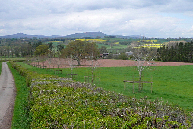
Image: © Graham Horn Taken: 13 Apr 2012
Pasture and arable mixed on the same field apparently, and plenty of protection around new trees that are progressing well. Add to the mix freshly trimmed hedges and the countryside around here feels tidy. The prominent peaks are Y Fal (The Sugarloaf) Image to the left and Ysgyryd Fawr (The Skirrid) Image in the centre.
Images are licensed for reuse under creativecommons.org/licenses/by-sa/2.0
Image Location
Latitude
51.787994
Longitude
-2.888671