King George V Bridge
Introduction
The photograph on this page of King George V Bridge by Jonathan Thacker as part of the Geograph project.
The Geograph project started in 2005 with the aim of publishing, organising and preserving representative images for every square kilometre of Great Britain, Ireland and the Isle of Man.

There are currently over 7.5m images from over 14,400 individuals and you can help contribute to the project by visiting https://www.geograph.org.uk
King George V Bridge
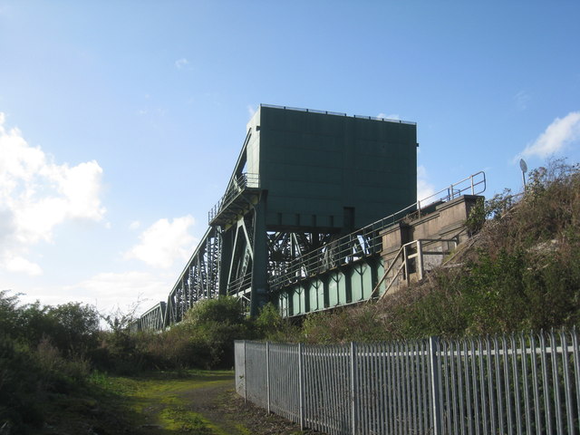
Image: © Jonathan Thacker Taken: 17 Oct 2012
Generally known simply as Keadby Bridge. Opened in 1916 as a combined road and rail bridge and replacing a rail-only bridge of 1866 situated slightly to the south. The eastern section originally lifted but this has been fixed since 1960.
Images are licensed for reuse under creativecommons.org/licenses/by-sa/2.0
Image Location
Latitude
53.58569
Longitude
-0.730004