Looking up Stanmore Lane
Introduction
The photograph on this page of Looking up Stanmore Lane by Peter Facey as part of the Geograph project.
The Geograph project started in 2005 with the aim of publishing, organising and preserving representative images for every square kilometre of Great Britain, Ireland and the Isle of Man.

There are currently over 7.5m images from over 14,400 individuals and you can help contribute to the project by visiting https://www.geograph.org.uk
Looking up Stanmore Lane
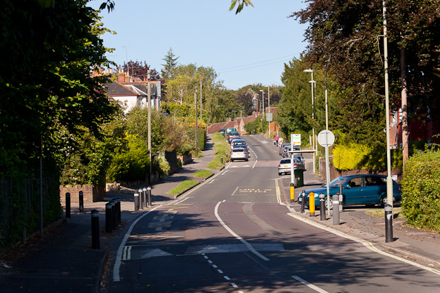
Image: © Peter Facey Taken: 22 Sep 2012
The blue car is coming out of King's Avenue and the yellow markings on the left are protecting the entrance to Stanmore School.
Images are licensed for reuse under creativecommons.org/licenses/by-sa/2.0
Image Location


Leaflet Map data © OpenStreetMap
Latitude
51.051572
Longitude
-1.327562