South end of Buckeridge Road
Introduction
The photograph on this page of South end of Buckeridge Road by Robin Stott as part of the Geograph project.
The Geograph project started in 2005 with the aim of publishing, organising and preserving representative images for every square kilometre of Great Britain, Ireland and the Isle of Man.

There are currently over 7.5m images from over 14,400 individuals and you can help contribute to the project by visiting https://www.geograph.org.uk
South end of Buckeridge Road
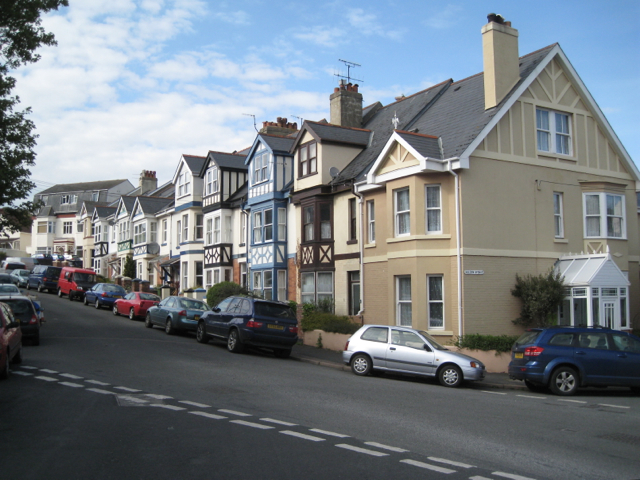
Image: © Robin Stott Taken: 6 May 2012
Three-storey bays distinguish this terrace of houses at the steep south end of Buckeridge Road. The view is from Higher Brimley at the junction with Lower Brimley Road and Haldon Avenue, right.
Images are licensed for reuse under creativecommons.org/licenses/by-sa/2.0
Image Location
Latitude
50.55269
Longitude
-3.498338