Regeneration site, east Belfast (2)
Introduction
The photograph on this page of Regeneration site, east Belfast (2) by Albert Bridge as part of the Geograph project.
The Geograph project started in 2005 with the aim of publishing, organising and preserving representative images for every square kilometre of Great Britain, Ireland and the Isle of Man.

There are currently over 7.5m images from over 14,400 individuals and you can help contribute to the project by visiting https://www.geograph.org.uk
Regeneration site, east Belfast (2)
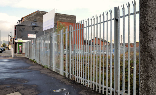
Image: © Albert Bridge Taken: 17 Oct 2012
A regeneration site, between Kenbaan Street and Clandeboye Street (right background).
Images are licensed for reuse under creativecommons.org/licenses/by-sa/2.0
Image Location
Latitude
54.592672
Longitude
-5.900137