Upper Rhiangoll Valley
Introduction
The photograph on this page of Upper Rhiangoll Valley by Jonathan Billinger as part of the Geograph project.
The Geograph project started in 2005 with the aim of publishing, organising and preserving representative images for every square kilometre of Great Britain, Ireland and the Isle of Man.

There are currently over 7.5m images from over 14,400 individuals and you can help contribute to the project by visiting https://www.geograph.org.uk
Upper Rhiangoll Valley
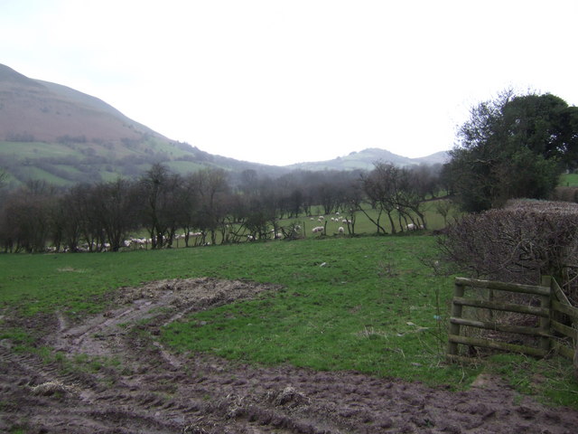
Image: © Jonathan Billinger Taken: 19 Jan 2007
This view takes in the Dinas Castell hill at the head of the valley, over sheep pasture. Mynydd Troed rises to the left.
Images are licensed for reuse under creativecommons.org/licenses/by-sa/2.0
Image Location
Latitude
51.941841
Longitude
-3.183829