Cumber Grove at the northern end of Drumaness village
Introduction
The photograph on this page of Cumber Grove at the northern end of Drumaness village by Eric Jones as part of the Geograph project.
The Geograph project started in 2005 with the aim of publishing, organising and preserving representative images for every square kilometre of Great Britain, Ireland and the Isle of Man.

There are currently over 7.5m images from over 14,400 individuals and you can help contribute to the project by visiting https://www.geograph.org.uk
Cumber Grove at the northern end of Drumaness village
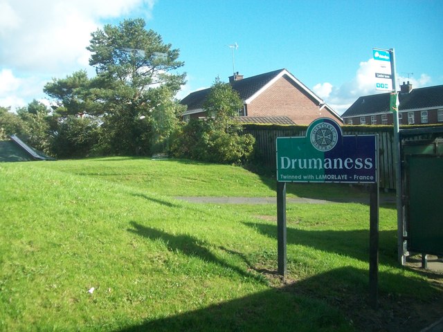
Image: © Eric Jones Taken: 12 Oct 2012
Drumaness 3 miles south of Ballynahinch, is a former mill village. Over 90% of its population are from a Catholic Community background.
Images are licensed for reuse under creativecommons.org/licenses/by-sa/2.0
Image Location
Latitude
54.372398
Longitude
-5.85661