The Cable House
Introduction
The photograph on this page of The Cable House by David Clark as part of the Geograph project.
The Geograph project started in 2005 with the aim of publishing, organising and preserving representative images for every square kilometre of Great Britain, Ireland and the Isle of Man.

There are currently over 7.5m images from over 14,400 individuals and you can help contribute to the project by visiting https://www.geograph.org.uk
The Cable House
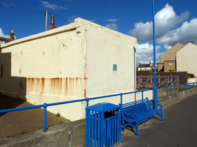
Image: © David Clark Taken: 4 Oct 2012
Where the first undersea cable to Scandinavia ran from.
Images are licensed for reuse under creativecommons.org/licenses/by-sa/2.0
Image Location
Latitude
55.185122
Longitude
-1.510142