Below Prescott
Introduction
The photograph on this page of Below Prescott by Graham Horn as part of the Geograph project.
The Geograph project started in 2005 with the aim of publishing, organising and preserving representative images for every square kilometre of Great Britain, Ireland and the Isle of Man.

There are currently over 7.5m images from over 14,400 individuals and you can help contribute to the project by visiting https://www.geograph.org.uk
Below Prescott
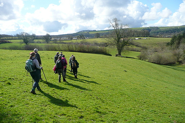
Image: © Graham Horn Taken: 11 Apr 2012
Or above Exford. The footpath drops across pastures from the abandoned farmstead of Prescott towards the village of Exford.
Images are licensed for reuse under creativecommons.org/licenses/by-sa/2.0
Image Location


Leaflet Map data © OpenStreetMap
Latitude
51.138865
Longitude
-3.632312