Grand Union Canal: Reach near The Cape
Introduction
The photograph on this page of Grand Union Canal: Reach near The Cape by Nigel Cox as part of the Geograph project.
The Geograph project started in 2005 with the aim of publishing, organising and preserving representative images for every square kilometre of Great Britain, Ireland and the Isle of Man.

There are currently over 7.5m images from over 14,400 individuals and you can help contribute to the project by visiting https://www.geograph.org.uk
Grand Union Canal: Reach near The Cape
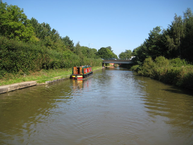
Image: © Nigel Cox Taken: 5 Sep 2012
Modern Bridge Number 50A, the Wedgnock Lane crossing, is visible in the distance, and through the opening one of the brick abutments of Bridge Number 50, the Cape Road Bridge beyond, is visible too.
Images are licensed for reuse under creativecommons.org/licenses/by-sa/2.0
Image Location


Leaflet Map data © OpenStreetMap
Latitude
52.290379
Longitude
-1.600585