Grand Union Canal: Reach in Woodloes Park
Introduction
The photograph on this page of Grand Union Canal: Reach in Woodloes Park by Nigel Cox as part of the Geograph project.
The Geograph project started in 2005 with the aim of publishing, organising and preserving representative images for every square kilometre of Great Britain, Ireland and the Isle of Man.

There are currently over 7.5m images from over 14,400 individuals and you can help contribute to the project by visiting https://www.geograph.org.uk
Grand Union Canal: Reach in Woodloes Park
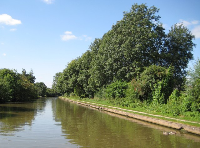
Image: © Nigel Cox Taken: 5 Sep 2012
The vegetated sides of the canal suggest a rural location but in practice the large housing estate of Woodloes Park is just beyond the trees to the north and right, and ditto Packmores to the south and left.
Images are licensed for reuse under creativecommons.org/licenses/by-sa/2.0
Image Location
Latitude
52.291753
Longitude
-1.582099