Open fields west of the UBL factory
Introduction
The photograph on this page of Open fields west of the UBL factory by Jonathan Billinger as part of the Geograph project.
The Geograph project started in 2005 with the aim of publishing, organising and preserving representative images for every square kilometre of Great Britain, Ireland and the Isle of Man.

There are currently over 7.5m images from over 14,400 individuals and you can help contribute to the project by visiting https://www.geograph.org.uk
Open fields west of the UBL factory
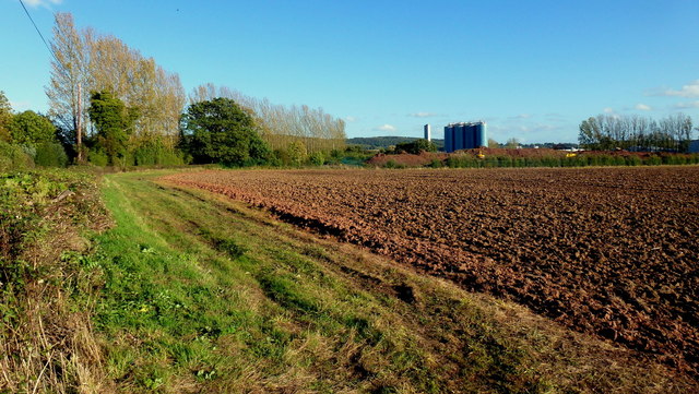
Image: © Jonathan Billinger Taken: 16 Oct 2012
Arable land to the west of Ladbury. UBL process fruit as well as can and bottle beverages.
Images are licensed for reuse under creativecommons.org/licenses/by-sa/2.0
Image Location
Latitude
52.034863
Longitude
-2.450252