Wootton Cross?
Introduction
The photograph on this page of Wootton Cross? by Richard Dorrell as part of the Geograph project.
The Geograph project started in 2005 with the aim of publishing, organising and preserving representative images for every square kilometre of Great Britain, Ireland and the Isle of Man.

There are currently over 7.5m images from over 14,400 individuals and you can help contribute to the project by visiting https://www.geograph.org.uk
Wootton Cross?
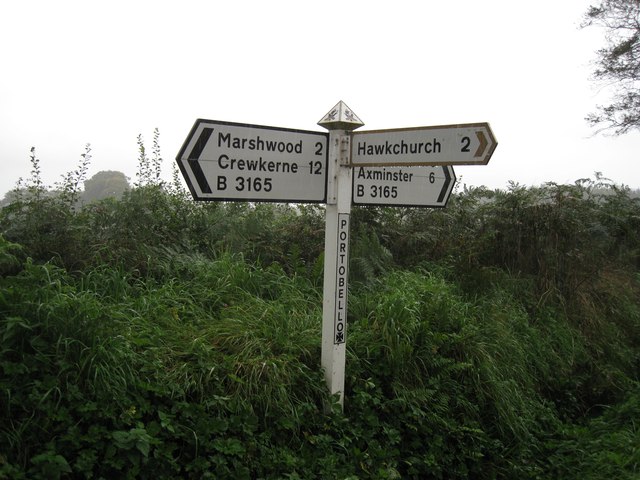
Image: © Richard Dorrell Taken: 5 Oct 2012
The Ordnance Survey maps name this junction as Wootton Cross, though the fingerpost at the junction bears the name Portobello Cross. A nearby building is named Portobello Cottage.
Images are licensed for reuse under creativecommons.org/licenses/by-sa/2.0
Image Location
Latitude
50.783621
Longitude
-2.918712