Stile at Woodcote
Introduction
The photograph on this page of Stile at Woodcote by Richard Dorrell as part of the Geograph project.
The Geograph project started in 2005 with the aim of publishing, organising and preserving representative images for every square kilometre of Great Britain, Ireland and the Isle of Man.

There are currently over 7.5m images from over 14,400 individuals and you can help contribute to the project by visiting https://www.geograph.org.uk
Stile at Woodcote
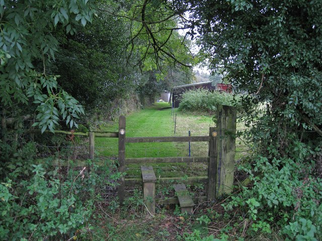
Image: © Richard Dorrell Taken: 5 Oct 2012
The footpath passes close to a private house, and it looks like the house owners make it their job to keep the path neatly mown. Behind the photographer, the footpath crosses a large field. The path is part of the Monarch's Way Long Distance Footpath.
Images are licensed for reuse under creativecommons.org/licenses/by-sa/2.0
Image Location
Latitude
50.784571
Longitude
-2.923695